Circle Flight Plan Overview

A Circle Flight Plan automatically generates missions suitable for capturing one or more area(s) by orbiting on a circle around them. Example use cases include making scenic videos and selfies.
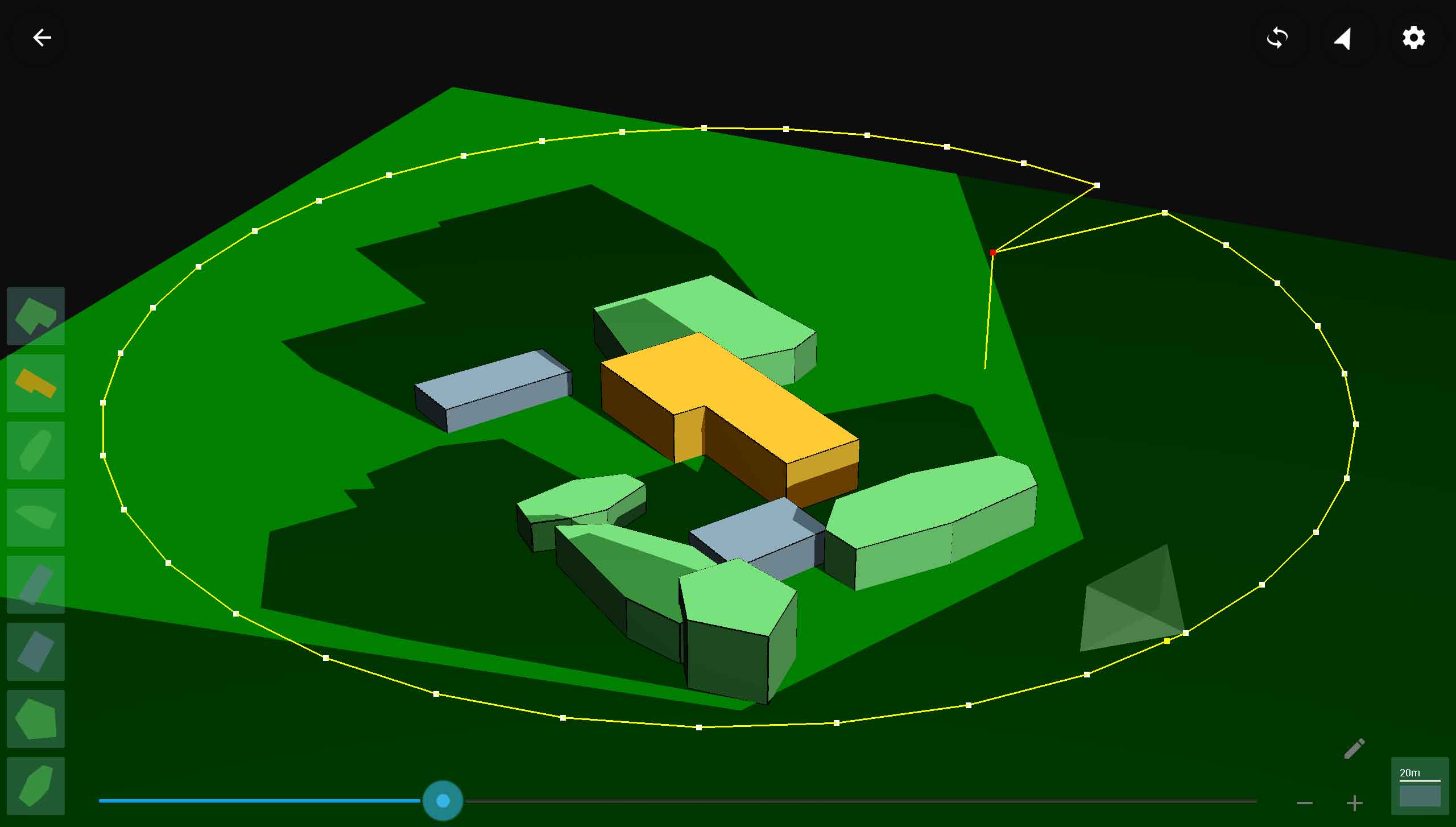
3D view of a circle scan flight plan

Circle Parameters

The following parameters can be used to tune a circle flight plan.
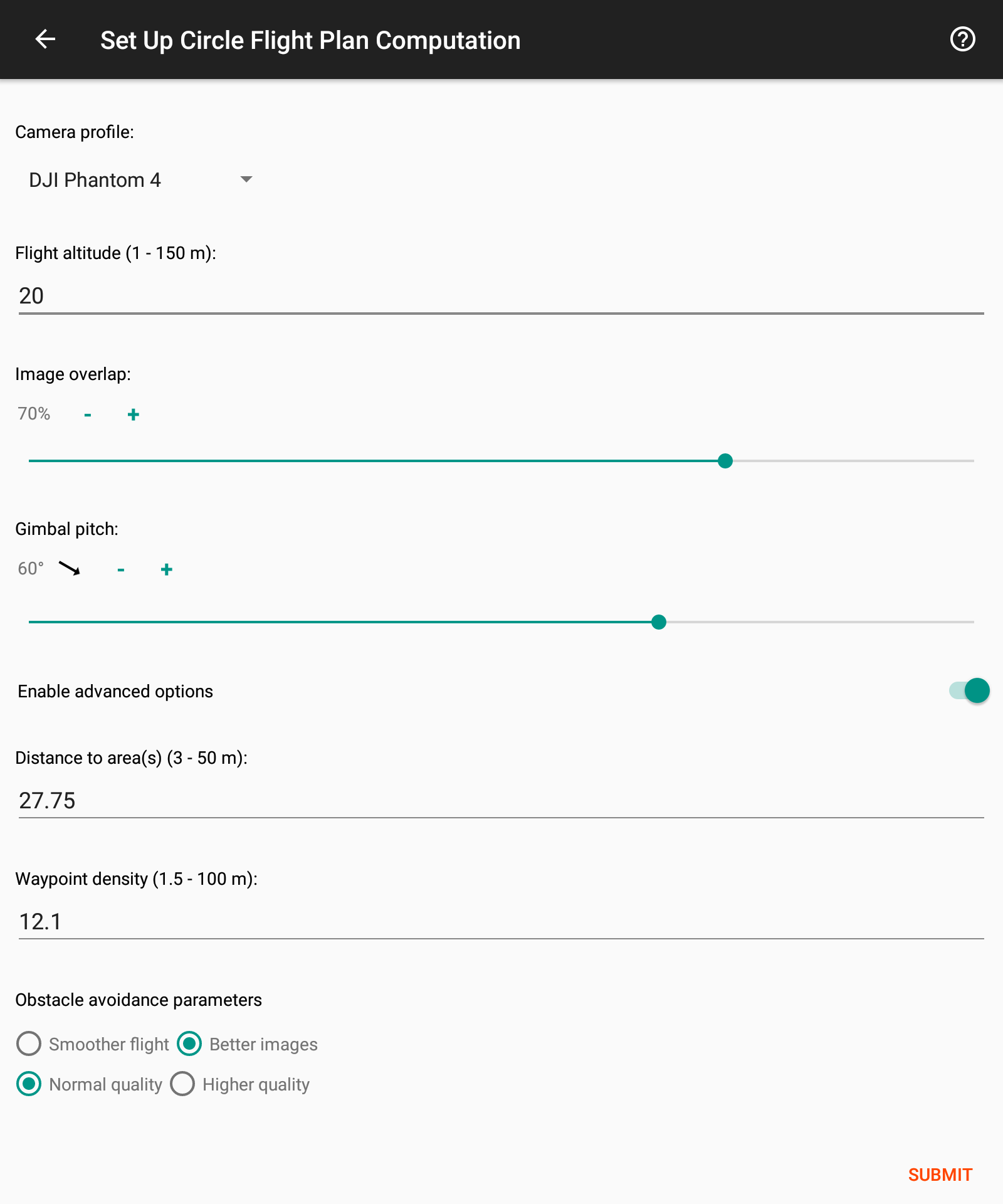
Circle Scan parameters
  • Camera Profile:
    The camera or drone type that will be used to fly the plan. Every plan can be flown with any drone. This parameter helps the planner tune the plan to the attributes of the camera that you intend to use.
  • Flight altitude:
    The altitude relative to the ground altitude of the lift-off location. This altitude will be respected, unless the resulting waypoints are obstructed by obstacles in the scene.
  • Image overlap:
    The amount of overlap that successive images along the path will have. For example, 50% overlap means that half of the content of each picture appears in the next picture as well.
  • Gimbal pitch:
    Sets the pitch angle of the camera for all waypoints of the plan, where 0 corresponds to a camera facing straight down and 90 corresponds to the camera facing the horizon.
  • Distance to area(s):
    The horizontal distance of the waypoints from the area(s). The planner computes by default an optimized value that suits the shape of the area(s).
  • Waypoint Density:
    The distance between two successive waypoints of the plan. The planner computes this value by default based on the defined image overlap. Bear in mind that if you choose to change this value, the image overlap you have chosen may no longer be respected.
  • Obstacle avoidance:
    When avoiding obstacles the planner can prioritize between two objectives: Smoothness of the plan and coverage of the area(s). These objectives often conflict each other and thus you can decide how to prioritize them. You can also choose to increase the overall quality on the expense of longer computation time.