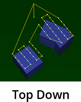
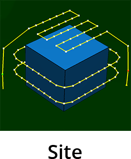
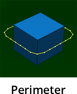
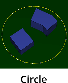
Six flight plans are intended for professional use cases in different industries, most of which are structure inspections and area surveys. The flight plans help to collect high quality imagery data for enhancing the results in image post- processing (2D orthomosaics or 3D models) that can be done in 3rd party applications. Click on a flight plan to learn more:
 |
 |
 |
 |
 |
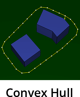 |
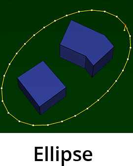
It is instructive to compare all four missions discussed above on a single easy example, presented below. We use a single structure to include the Perimeter Scan in the comparison and we use no obstacles for simplicity and clarity.
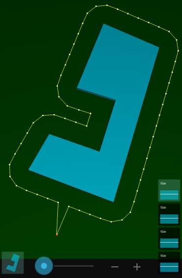 Perimeter |
 Circle |
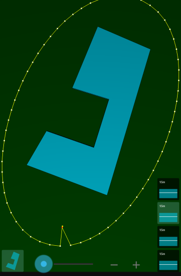 Ellipse |
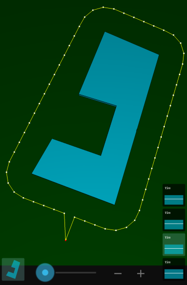 Convex Hull |
Copyright 2018 Drone Harmony AG. All Rights Reserved.